
When the only plan is a scan
A mid-century building whose drawings survive as scanned prints, and what the raster path asks of a reviewer.
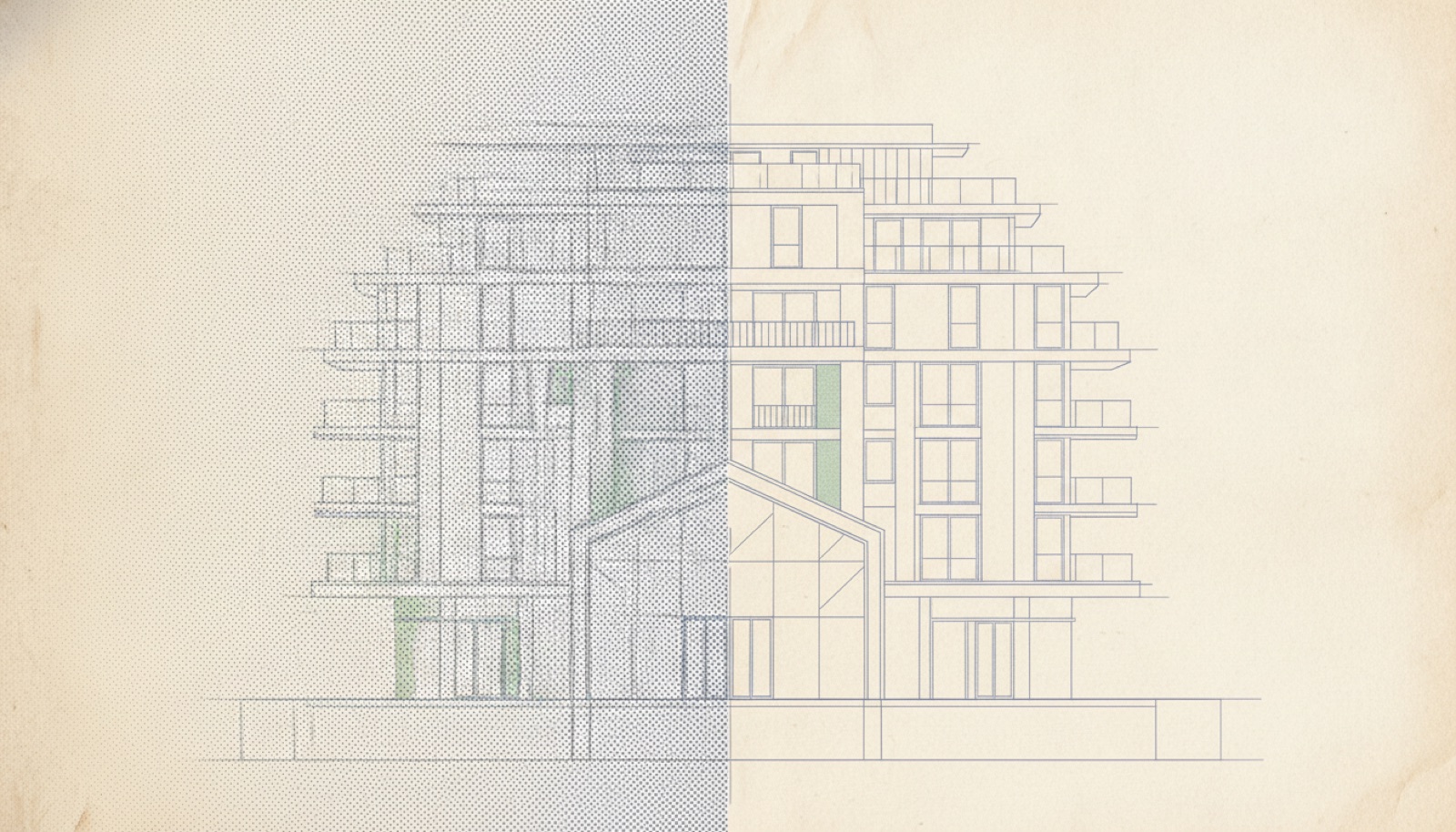
The asset is a mid-century commercial building whose drawings survive as scanned prints. There is no CAD set, because there was never a CAD set. The originals were drawn on paper, the paper was printed, the prints were photocopied through several generations of tenancy, and at some point in the last two decades somebody put the surviving sheets through a scanner and saved the images to a shared drive.
That is the entire source material. It is also an extremely common situation. The usual advice, which is to export a vector PDF from the original file, has nothing to offer here.
What goes in
The scans were uploaded as images: PNG and JPEG, at whatever resolution the scanner had produced. Nothing was retraced first. Retracing was the option the team already had and already knew the cost of; if the drawings had to be redrawn before they could be used, the redrawing would become the new bottleneck, which is the same reason the building had gone unmodelled for years.
The first real difference from the vector path shows up immediately. On a vector PDF, StudiO reads the title block to recover the drawing’s declared scale and revision, so the drawing tells you what it is. A raster image has no linework to read, only pixels, so scale is handled as an explicit estimate: a stated, inspectable number instead of something inferred quietly in the background.
Making that step explicit is the honest design. A raster plan cannot assert its own scale, and software that pretended otherwise would be guessing on the user’s behalf about the one value everything else is built on. Whether the model comes out dimensioned or merely proportioned rests entirely here.

What the extraction has to work through
After the scale estimate, a raster plan goes through the same dual-pass extraction as any other input, one semantic pass concerned with what the plan means and one structural pass concerned with what holds the building up. It comes out the same shape: wall segments measured individually and typed by role as exterior, core or partition, with columns detected and the evidence behind each detection attached.
What differs is how much noise sits between the drawing and the geometry. A photocopied print carries speckle. Lines that were continuous on paper arrive broken. Hatching that meant one thing to a draftsman in 1962 is, to a pixel reader, a region of texture. Text set at the size of a small room has to be told apart from a small room.
What the reviewer checks harder
The review hour is the same hour it always is, but the attention lands in different places, and the team learned quickly where to spend it.
The scale estimate. It comes before anything else. On a vector set this is a glance at a recovered figure; on a scan it is the one input worth pausing over, because an error here does not look like an error. It produces a floor that is internally consistent and uniformly the wrong size. The check is to hold a known dimension against the model: a lift car, a stair, a structural bay the team can confirm from the building itself.
Segment thickness at the boundaries. Broken linework is most likely to shorten or split a segment, so the exterior run and the core walls got read along their length rather than glanced at. Role typing helped in the way it usually does. The core is the same on every level of the stack, so once it was confirmed on one floor it was recognisable on the rest, and the reviewer’s attention could move to partitions, where the genuine variation lives anyway.
Columns, one at a time. This is where evidence provenance stopped being an abstraction. On a noisy scan, more detections come through as probable than as asserted, which is the correct behaviour and is visible on the model. A probable column with its evidence attached is a claim someone who knows the building can accept or reject in a second. A column that simply appeared, carrying the same confidence as every other, would have meant verifying all of them against the drawing by hand.
Where raster is honestly weaker
A vector PDF is a better input, and it is worth saying so plainly rather than implying the two paths are equivalent.
Vector linework is geometry already, so the extraction starts from certainty instead of from inference. The title block yields scale and revision directly, so there is no estimate to get wrong and no ambiguity about which issue of the drawing you are looking at. On this asset, more than one sheet carried undated hand annotation, and no software can date it for you. A clean vector set also produces a higher proportion of asserted detections, which means less of the review is spent adjudicating.
The raster path moves more of the judgement to the review step, and it is candid about having done so. For a building whose alternative was a redraw that had not been commissioned in twenty years, that trade is not close.
What came out
The available floors went to market as leasing sites: the interactive 3D view beside the fitted vector plan, the imagery, the agent’s details, on one link that opens on a phone. Wall heights and room labels were adjusted by the team where the scans were silent or stale, which is what those layers are editable for.
What the team described afterwards had little to do with any single page. A building they had quietly treated as unmodellable stopped being a special case. That is qualitative, and it is presented as qualitative.
The honest boundary
What came out is draft geometry, for visualisation, marketing and early decisions, and on a scanned source that is worth stating twice. It is not construction-grade BIM and it does not replace a measured survey. On this asset a survey is exactly what should happen for any floor that goes to fitout, and the model made that decision easier to reach: it got the floor understood by people who had never stood in it.